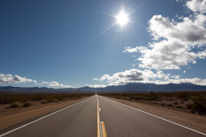
Morning Star Mine Road
Driving along I-15 on my way to Las Vegas I came across a sign that said to tune to 1610 AM on the radio to hear information about the Mojave National Preserve. Being quite bored along the 4 hour drive I decided to take a listen to see what info they were offering. After listening to the descriptions of various parts of the preserve, I decided to take a drive through on my way back. I decided to get off I-15 at Nipton Road and cut a diagonal path down to I-40 to continue my drive home.
I was impressed with the sheer desolation. It’s not the same as Death Valley National Park, as the vegetation is more dense but the wide open spaces are amazingly desolate. One thing the park did boast on the radio is the largest Joshua Tree forest in the world. I-15 cuts through part of this forest, and I soon met up with it again driving down Morning Star Mine Road.

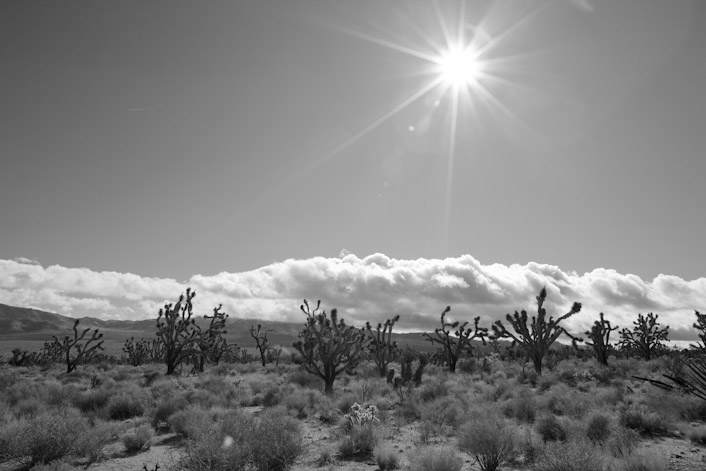
Joshua Trees

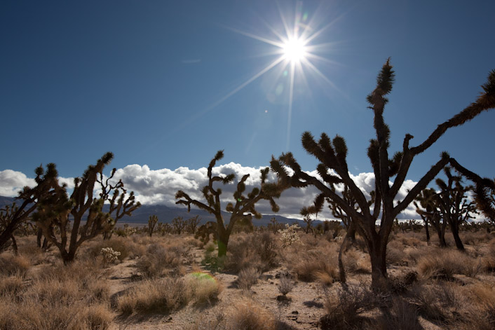
Part of the largest Joshua Tree forest in the world
I only drove through the eastern fringe of the forest, however. The majority of the forest lies in the Shadow Valley area to the west.

Very large Joshua Tree
Continuing on through the preserve, I spotted these towering dunes in the distance.

Kelso Dunes from afar

More Kelso Dunes

These dunes tower up to 650 feet
These giant dunes are visible for miles and miles around. I figured I’d take a closer look if there was suitable road access. Fortunately the turnoff for the dunes trailhead is a very well maintained dirt / gravel road that any car can drive on. I decided to take a closer look. There were a half dozen or so other people there exploring these dunes. Fortunately motorized vehicles are prohibited here.

Hikers making their way to the top
I’ve read that these dunes are quite varied in their composition. The largest ones shown here (which are the closest to the trailhead) appear to be mostly vegetation stabilized and do not drift. I found the sand in some places was quite solid. I could walk over them with all my gear and hiking boots and would only leave impressions in the top centimeter or so of loose sand. In other places it was just as soft as a sand dune on an ocean coast. I ventured about a mile towards the tallest dune before deciding to head back.

In the Kelso dune field

Looking towards the Providence Mountains

Hikers on the top with blowing sand
All together it was a very nice diversion. The preserve has many other features that I did not touch on, including a nice cave system, volcanoes and other interesting bits. I’ll definitely go back for a proper photographic expedition.


by Kurt