Earlier this week the Angeles Crest Highway reopened through the Angeles National Forest. This road has been closed since the Station Fire back in August which was the largest wildfire in the recorded history of Los Angeles County. This terrible fire consumed more than 160,000 acres and resulted in the death of two firefighters.
Having taken pictures of the Station Fire I thought I’d take a drive up to see what could be seen. The change in scenery was astonishing compared to the area I had enjoyed hiking in earlier in the year. It’s going to be a painfully long time before the area recovers and trails can be made safe again. I really regret not hiking many of these trails before this. In my photographic quest this morning, I did not venture off of any of the wide turnouts that are dotted along the highway. I was in no way interested hindering any of the recovery. Unfortunately there were other people that I saw along the road walking off of the turnouts and into the fragile scorched soil around.

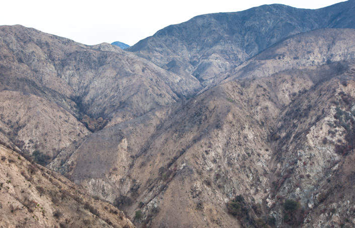
My first glimpse of the desolation
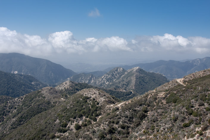
This is quite a sight to behold considering that back in April the hillsides looked something like this:

Angeles National Forest as seen from Josephine Peak
Instead, there is the strange alien world that now exists there.

Torched trees along the highway

Only the Yucca remains, with a few fresh green sprouts nearby
This miniature rockslide chute illustrates what lies ahead for this area, since the vegetation is gone and nothing is left to hold back the soil. I hope our rains our nice and gentle this year.

A small fragment of a big problem
There is hope. Fire is of course a natural part of the cycle of life here. As you can see some of the bushes have already sprouted forth new growth as the roots still live.

Burned area and new sprouts

New sprouts from burnt trunks

An oddball red tree amongst the devastation

Burnt branches frame Strawberry Peak

Burned brush along the highway

Desolation along the highway

The surreal, brown, dead landscape near Angeles Forest Highway

Note the bits of green where foliage was spared the wrath of the fire
I sincerely hope that those responsible for this fire are brought to justice. With up to an inch of rain in the near term weather forecast, the Angeles Crest Highway may close again just a few days after opening. The entire road seemed to have been repaved, with construction crews working all over on drainage projects and repairing other damage to the road, guardrails and signs. Thanks to the construction crew for working so hard to reopen this road.
I started the day at Devil’s Gate Dam, and will be posting pictures from that location as the next blog update.


by Kurt
TGiblin - Very nice photos. I see that the “penny pines” plantation at Clear Creek was thoroughly decimated. I used to hike in the San Gabriels in the 1970’s. I always said that those plantation pine trees would never have a chance in a brush fire on that south facing, chapparrel covered flat, and that it was just a matter of time. A friend of mine helped plant those trees. Sad, but those pines never should have been planted at that spot in the first place. It’s brush country.